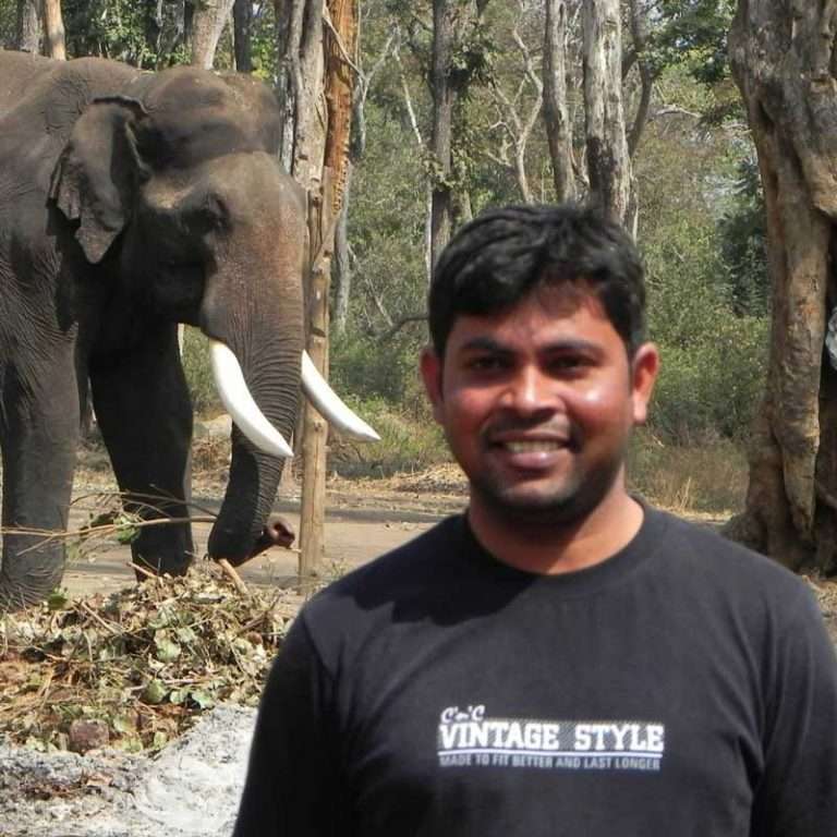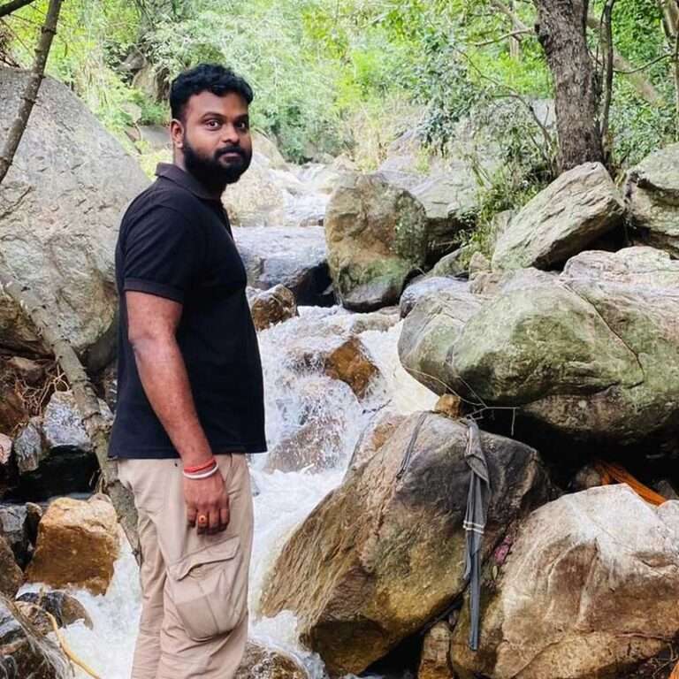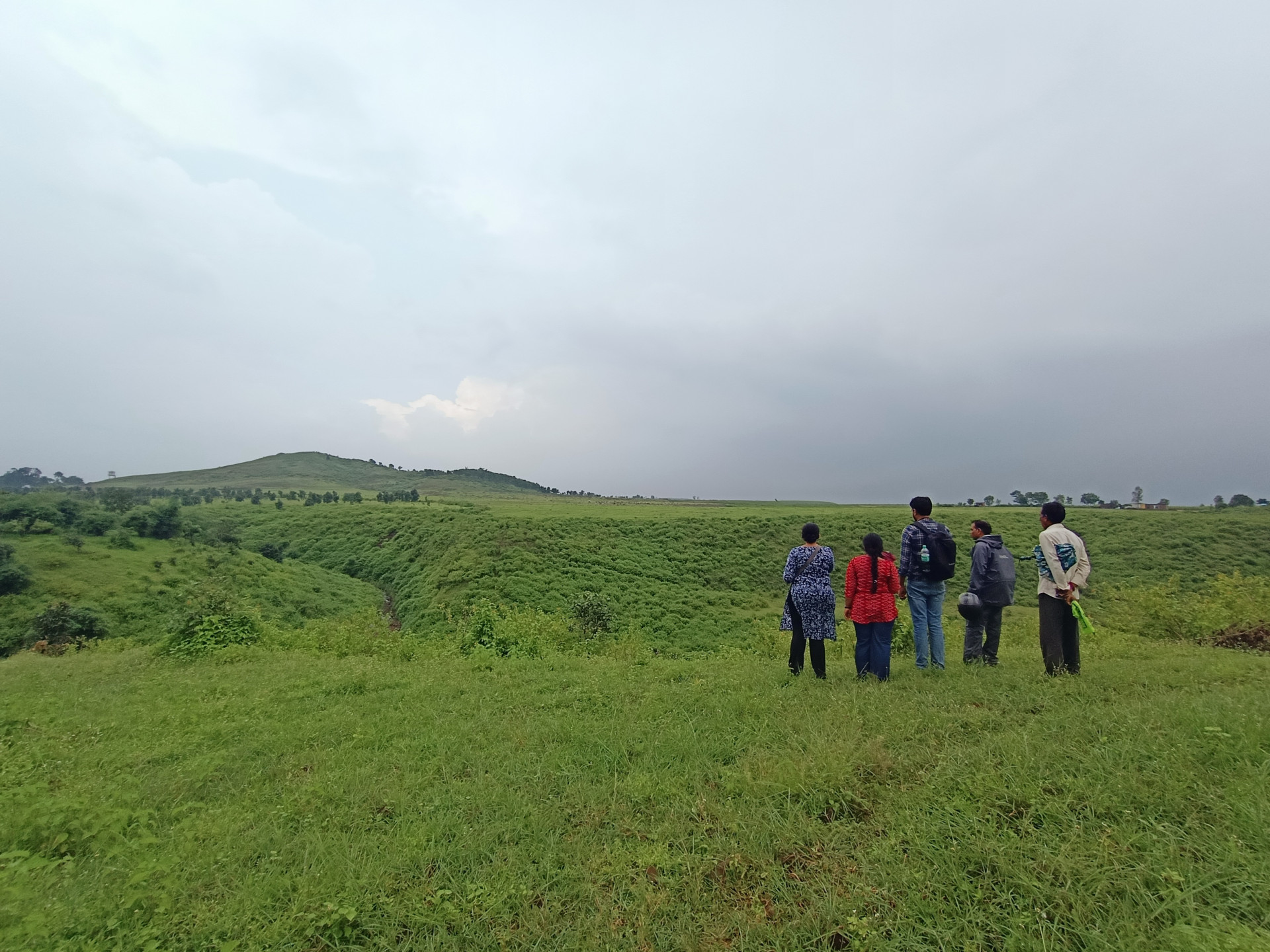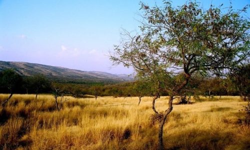


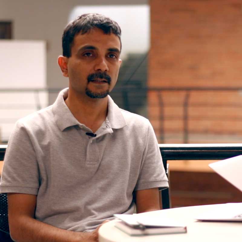
Milind Bunyan is a forest ecologist with research interests in invasive alien species, landscape ecology and restoration ecology. Milind uses RS-GIS to characterise ecosystems and communities and develop tools for restoring landscapes. His previous work ranges from building species distribution models for cryptic birds in the Mojave Desert (with the US Geological Survey) to assessing vegetation productivity trends across the semi-arid regions of Africa and India as part of the CARIAA-ASSAR initiative. His current work explores top-down (e.g. RS data) and bottom-up (e.g. citizen science) approaches to prioritise sites for restoration or conservation action. This work spans diverse sites, including tropical montane grasslands in the Western Ghats and semi-arid savannas in peninsular India. Through his research, Milind promotes using open-source and open-access platforms and data, citizen science and applied research that addresses societal challenges. Milind also serves as the Interim Lead ATREE’s Ecoinformatics Lab.
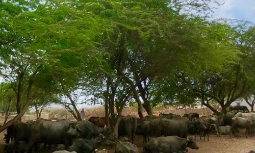
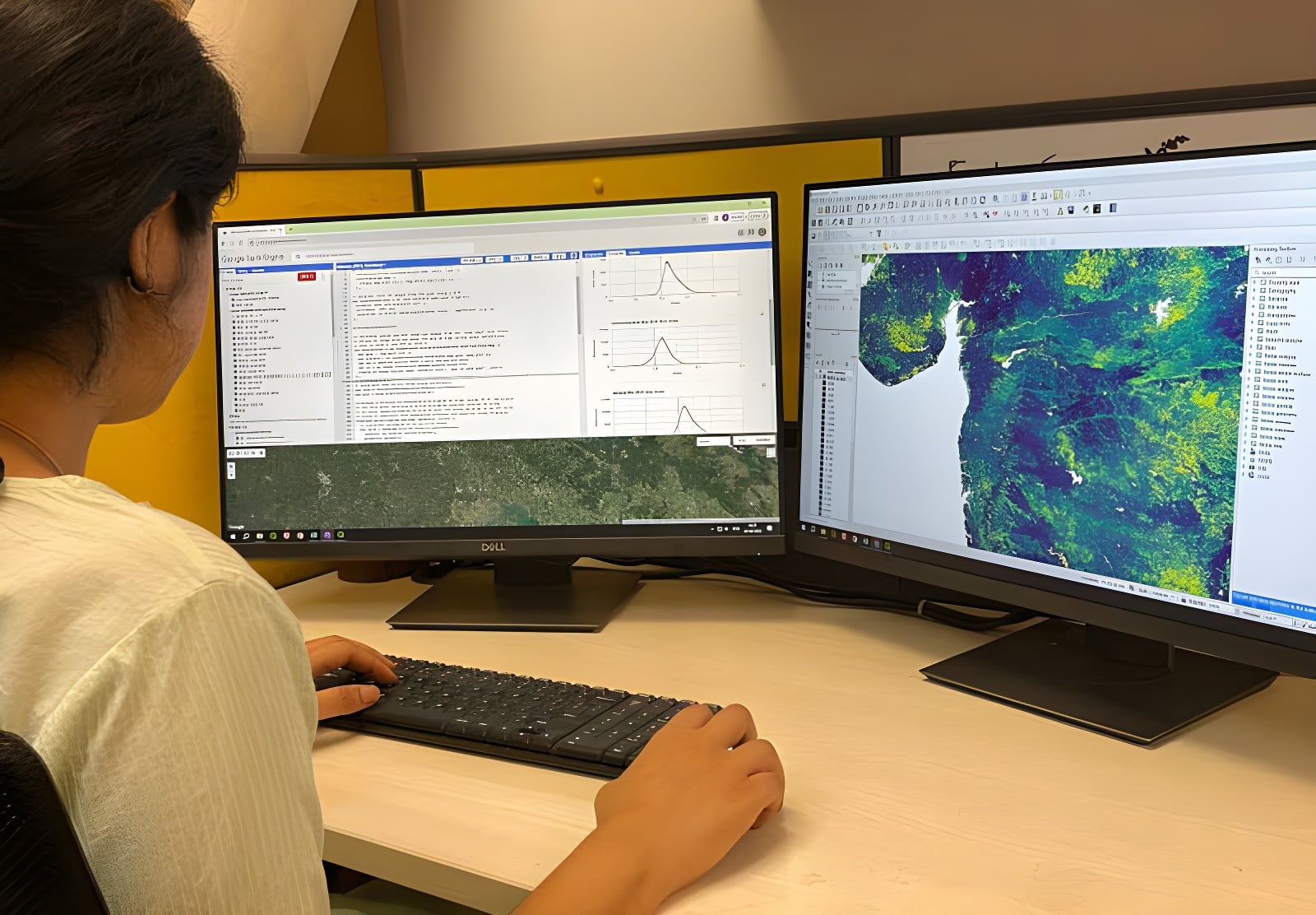
This course provides a basic introduction to the concepts of landscape ecology and the practical applications of Geographical Information Systems (GIS) and satellite remote sensing (RS) for conservation, with a special focus on vegetation and land-cover mapping. We guide students through the theoretical foundations of temporal and spatial scale issues, data collection, and analytical methodologies. We then provide an overview of the approaches used to interpret these data to understand the drivers, processes, and outcomes of ecological and environmental change across diverse contexts. The course delivers hands-on QGIS skills to successfully link remotely sensed imagery with administrative, ecological, and environmental datasets through applied RS-GIS applications. Ultimately, we enable students to conduct independent research and address applied questions in ecology, conservation, and sustainable development through a combination of lectures, discussions, practical labs, tutorials, and a final project.
This course provides an advanced, hands-on introduction to cloud-based geospatial computation using Google Earth Engine (GEE) for conservation science applications. Students gain a comprehensive understanding of the GEE client-server architecture, JavaScript scripting, and multi-sensor satellite data processing across platforms including Landsat, Sentinel, and MODIS. We equip students to build cloud-free image composites, compute and automate spectral vegetation index workflows, and integrate vector boundary data for region-specific analysis. We also develop practical skills in supervised machine learning for land-use/land-cover classification using Random Forest and related classifiers, alongside rigorous accuracy assessment using confusion matrices. The course further provides the skills to construct interactive multi-year time-series charts and to publish fully functional geospatial web applications via the GEE App platform, ensuring that research outputs directly support evidence-based conservation action and policy. Our training consists of nine 30-minute micro-lectures and nine 1.5-hour scripting laboratories delivered directly within the GEE platform to seamlessly bridge conceptual methods with guided scripting exercises.