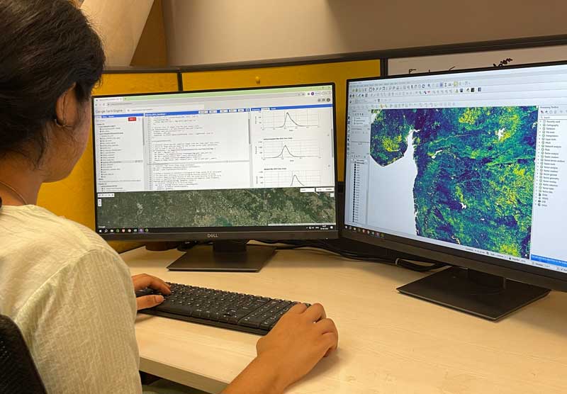
The Ecoinformatics Lab (EIL) uses ecological and environmental informatics to enhance ATREE’s social, ecological and interdisciplinary research and outreach activities. This is achieved by assembling, organising, analysing and disseminating ecological, biophysical and socioeconomic spatial data. Using remotely sensed data from active (e.g. SAR) and passive (e.g. multispectral, hyperspectral, hyperspatial) sensors across a range of spatial and temporal scales, the lab aims to solve environmental problems and advance our geospatial knowledge by collaborating with researchers, practitioners and the government.
The EIL has been a recognised resource centre for Clark Labs since 2004 and uses TerrSet (formerly IDRISI) and its extensions for research and training. It is a strong supporter of open-source geospatial data collection and analysis platforms and libraries such as ODK Collect, QGIS, GeoServer, OpenLayers, PostgreSQL and Google Earth Engine.
Key Areas of Work
Knowledge Commons
Building a Knowledge Commons to promote interaction between data producers and consumers at scale.
Decision Support Systems
Creating Decision Support Systems to inform social-ecological restoration and prioritise sites for conservation action.
Emerging Technologies
Harness emerging technologies to expand existing tools and platform capabilities and improve data visualisation and storytelling capabilities.
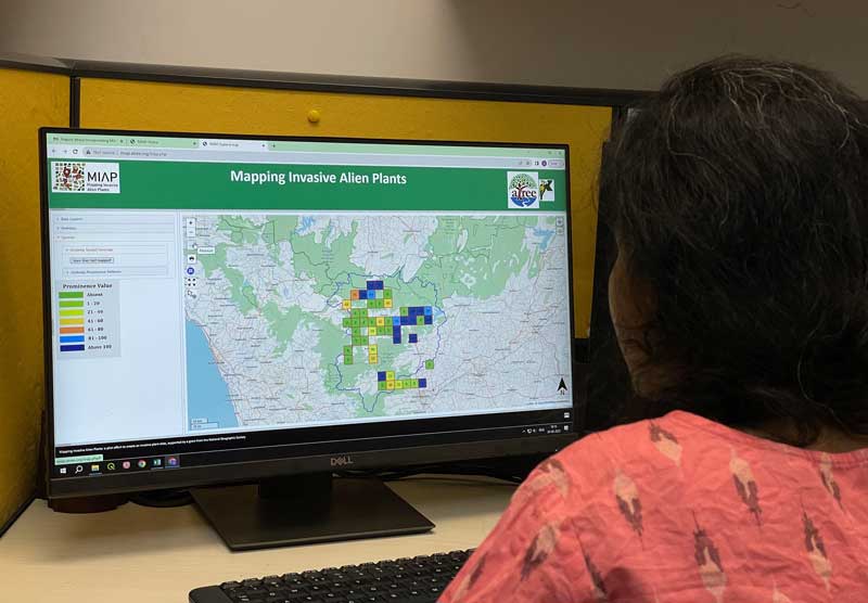
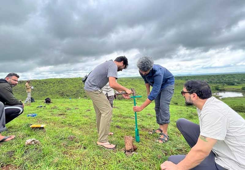
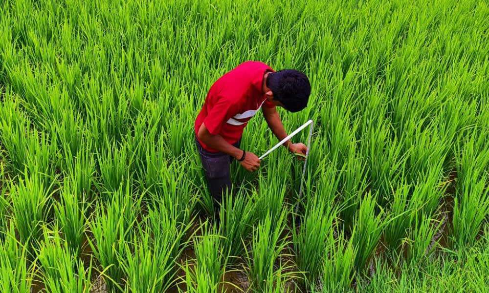
Site-specific Spatial Enquiry
Conduct site-specific spatial enquiry to equip subject-matter experts with the tools and data on conservation threats and changing land use.
Tech4Communities
Promote community access to the knowledge of and use of natural resources through smartphones and other digital interfaces.