
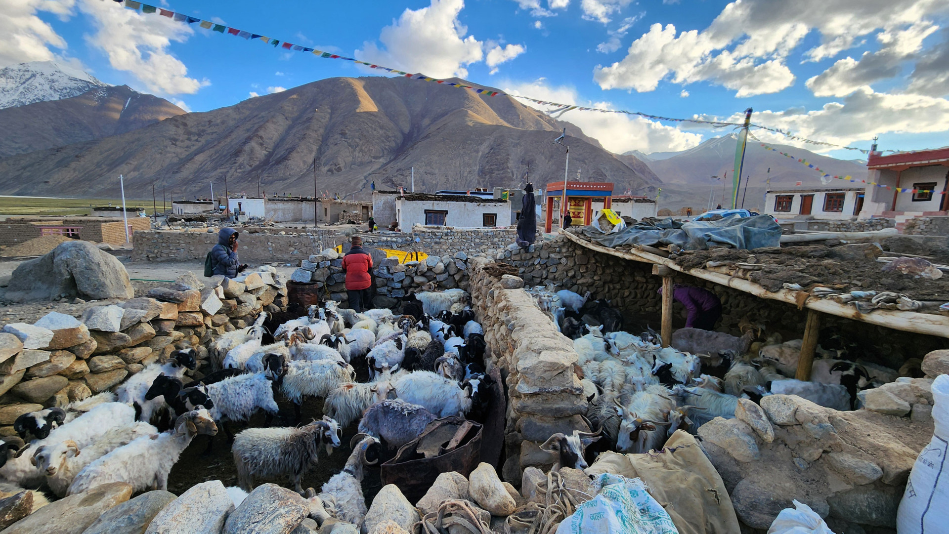
Greater Resilience in Arid Zones through Innovation, Exchange and Research (GRAZIER)
Securing Individual Forest Rights (IFR) for the forest villages of Madhya Pradesh using geospatial technology
Setting up local community based distributed nurseries and supporting existing nurseries for restoring Soliga agro-ecosystems
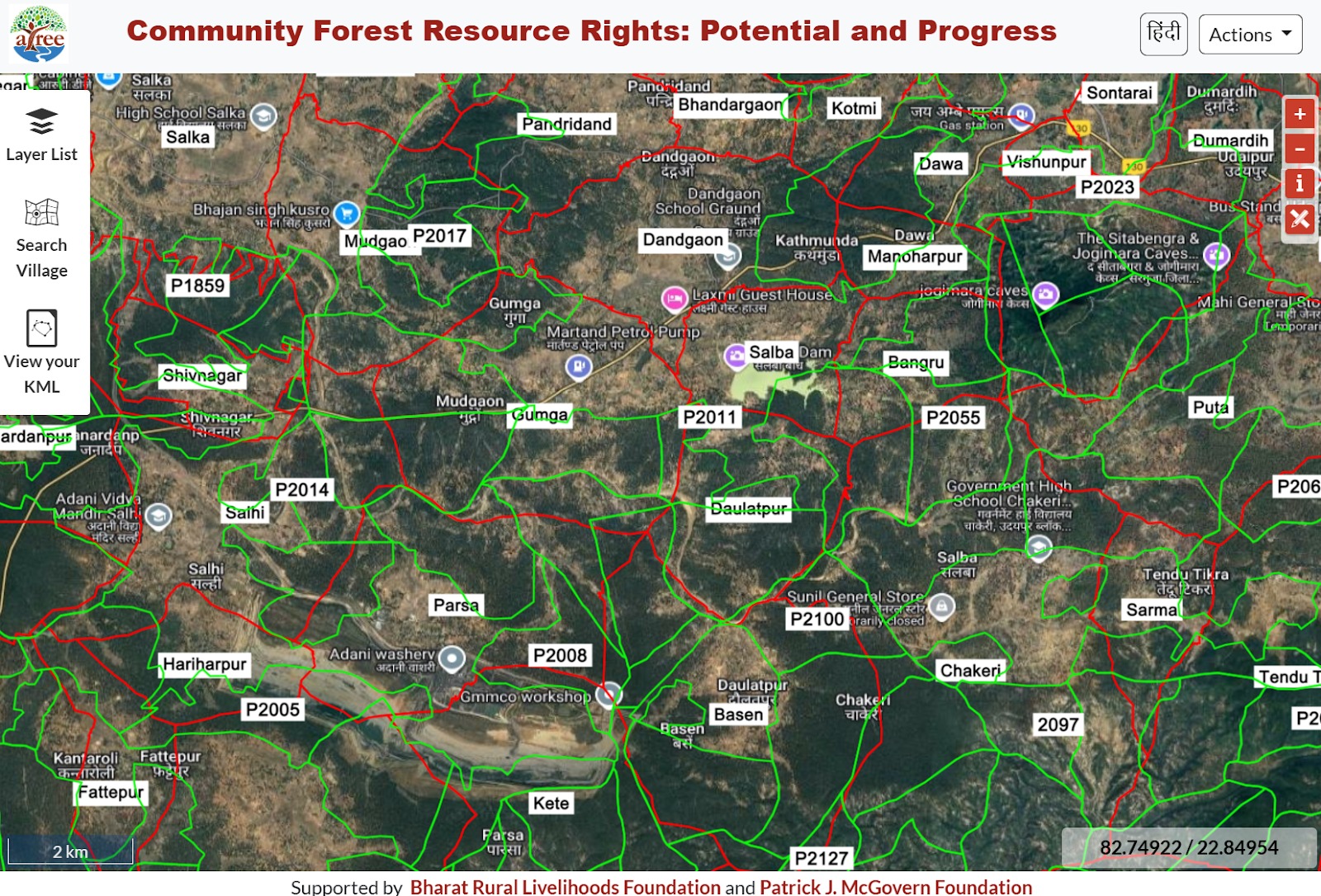
Supporting CFR recognition with GeoSpatial technology and creation of a public WebGIS of the CFR potential maps for central Indian states
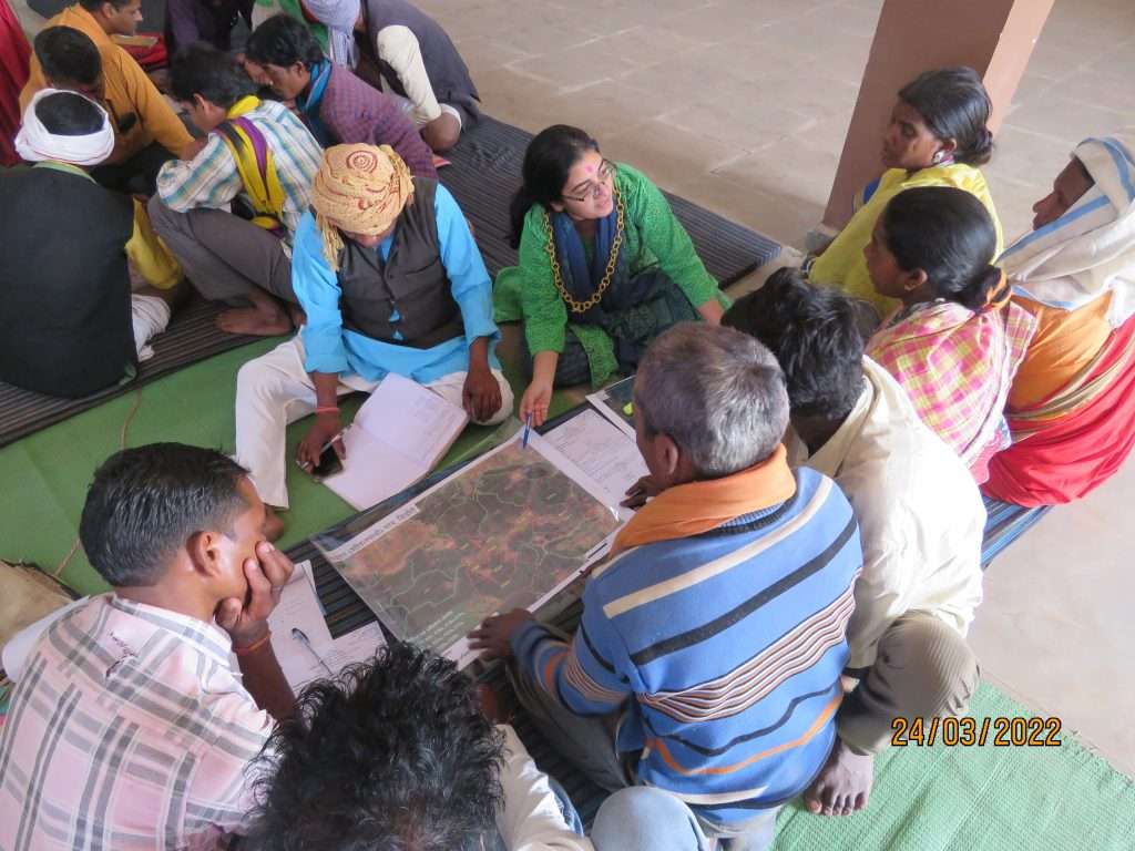
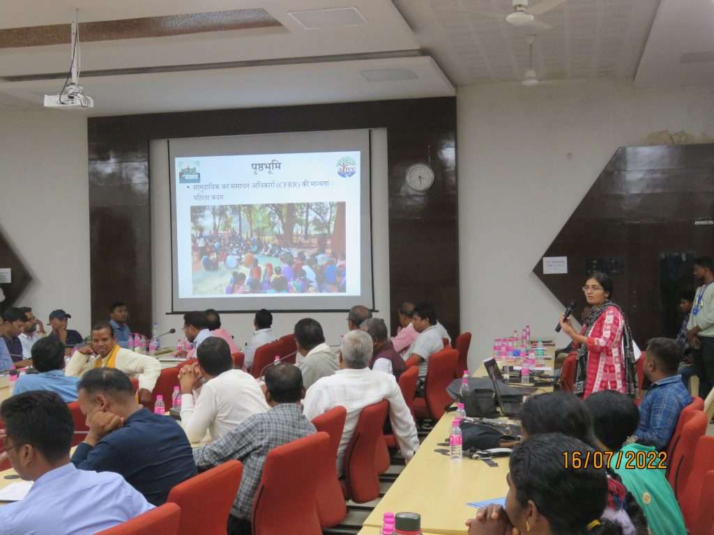
Training, capacity development and decision-making support for CFR rights recognition in Bastar district
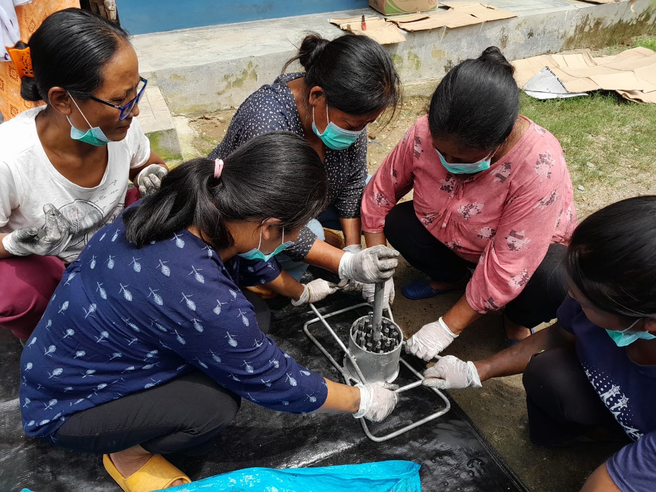
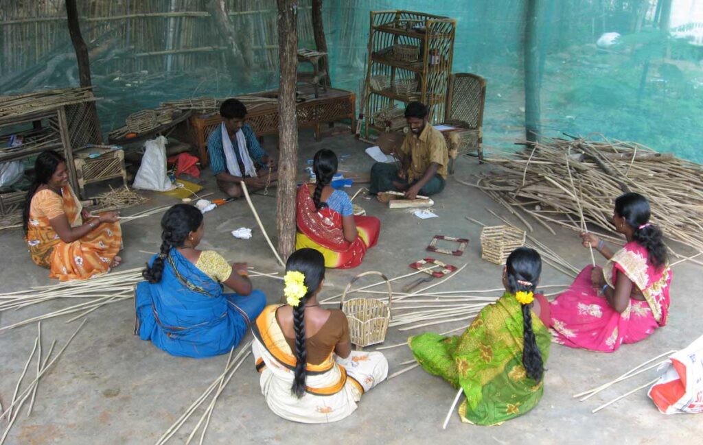
Value-added products from invasive plant species for improving livelihoods of marginalized communities in the Indian Himalayas
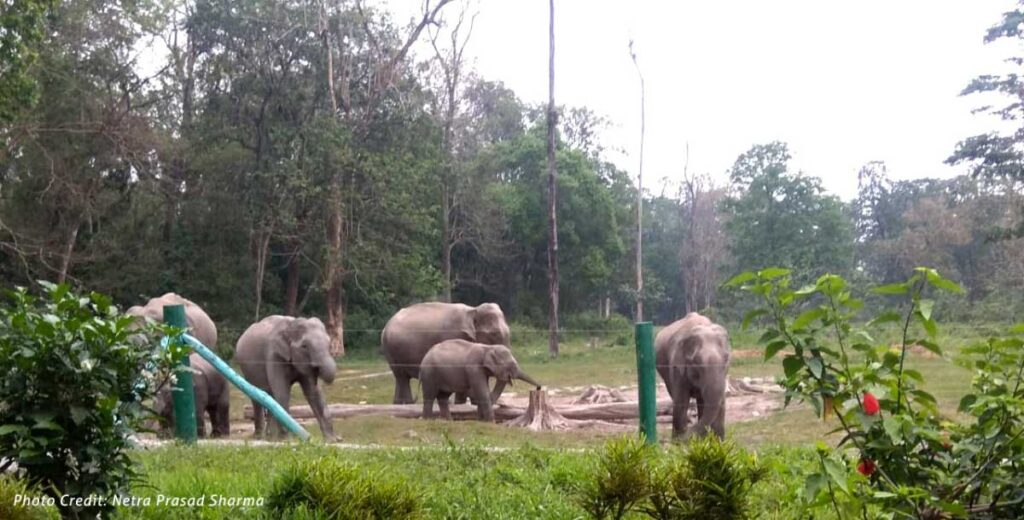
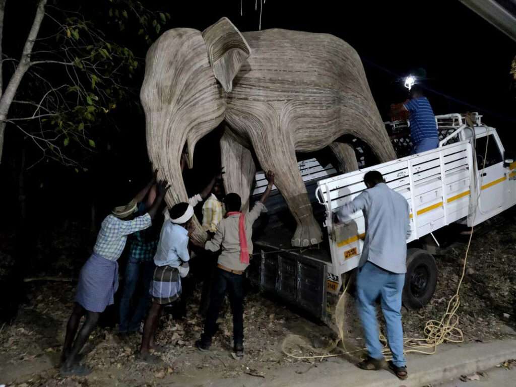
Western Ghats Nilgiris Landscape India – Tackling lantana in tiger and elephant habitats. It is a collaborative project by ATREE, NCBS, Shola trust and WWF India
Developing alternative uses of Lantana and its ecological impact in Malai Mahadeswara Wildlife Sanctuary (MM Hills)
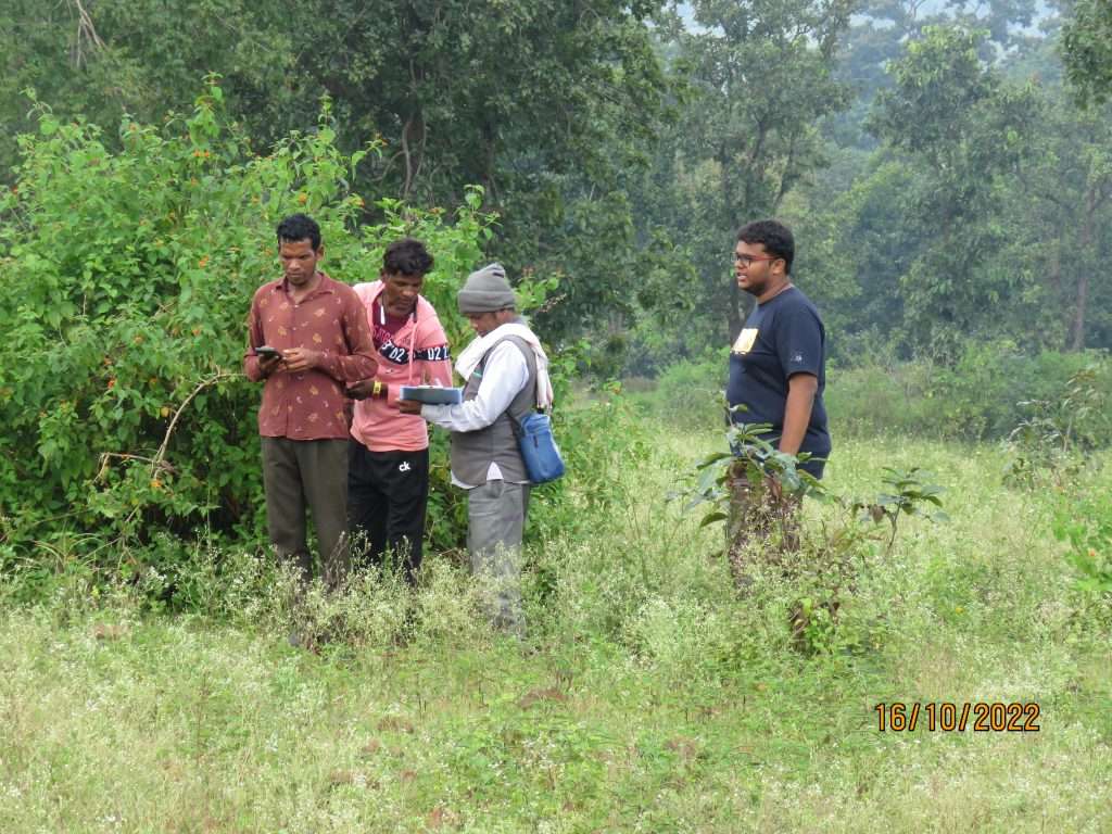
Action-research for CFR claim-making and CFR management in Bastar and Baiga Chak
Analysing the transformative potential of Community Forest Resource rights in Maharashtra