MapBiomas is a collaborative mapping international network in the tropics and subtropics dedicated to generating a time series of maps that are useful, updated, accurate, complete, and relevant to the local context, aiming to foster sustainable management, conservation of natural resources, and climate change mitigation. It started in Brazil in 2015 producing annual land cover and land use maps, involving a local multi-institutional network of partners including NGOs, universities, and technology companies (https://mapbiomas.org). It has then expanded to other countries, all of them involving a network of local institutions. This expansion came along with the development in Brazil of other MapBiomas’ initiatives related to deforestation alerts, water, fire, soil, pasture, irrigation, and mining mapping. When relevant for the local context, these other products are being expanded to other countries as well.
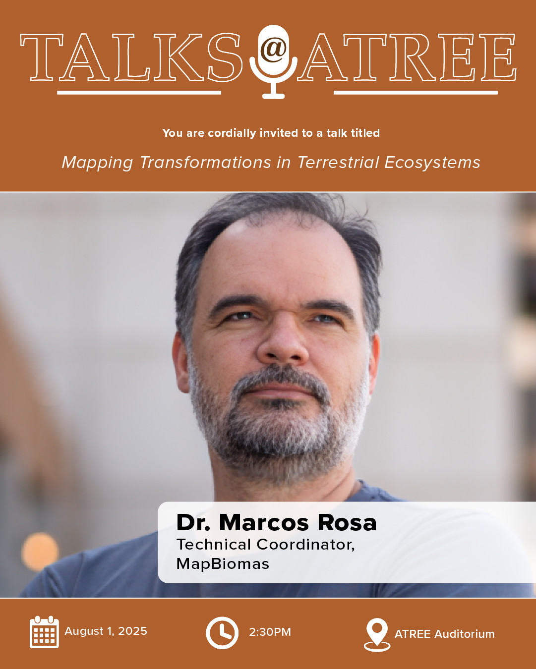
About the Speaker
Marcos Rosa completed his PhD (2021) in Geography at USP (University of São Paulo) FFLCH . He has more than 20 years of experience in the geoprocessing, digital mapping and remote sensing areas, working mainly on the following topics: planning, monitoring and the environment. As a Technical Coordinator of the MapBiomas Project, he has Technical responsibility for executing the Atlas of Forest Remnants of SOS Mata Atlântica / INPE and is responsible for ArcPlan. He is also a Professor at São Paulo State University (USP).